If you’re exploring marine navigation apps, you’ve likely come across two of the top contenders—Aqua Map and Navionics. Both are packed with features for planning routes, viewing charts, and marking waypoints, but they differ in key areas, such as chart presentation, offline usability, and advanced features. This comparison of navionics vs aquua map will help you decide which app fits best with your boating, fishing, or cruising needs.
Chart Quality and Presentation
When it comes to chart detail and appearance, Navionics leans toward sleek, modern vector charts. These are clean, scalable, and interactive, making them ideal for boaters who prefer a polished, easy-to-read layout. Navionics also offers daily chart updates, depth shading, and options like SonarChart™, which provides extra bathymetric data contributed by users.
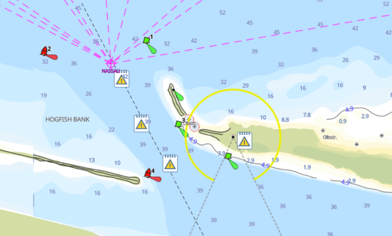
Aqua Map, on the other hand, takes a different approach. It offers NOAA raster charts for U.S. waters, which resemble traditional paper charts—something many experienced mariners still trust. For international waters, Aqua Map also offers vector options, but its standout feature is the ability to download and store charts offline in high resolution. This makes it incredibly useful for long-distance cruisers or offshore users who have limited internet access.
Route Planning and Waypoint Tools
Both apps allow for custom route creation and waypoint management, but their functionality and interfaces differ.
Navionics is known for its Dock-to-Dock Autorouting feature, which automatically calculates the safest route based on your vessel’s draft and navigation settings. It’s a time-saving option for beginners and casual cruisers who want simplicity.
Aqua Map enables the creation of manual routes with great precision. You can drop waypoints, connect them into routes, and even import/export GPX files. What sets Aqua Map apart is its integration with the U.S. Army Corps of Engineers’ ENC data, especially valuable for those cruising the U.S. Inland Waterways. This makes Aqua Map an excellent choice for those who prefer full control over route planning.
AIS and Instrument Integration
Navionics supports ActiveCaptain community data and pairs well with Garmin plotters and mobile apps. While it doesn’t directly stream AIS data, users can access some vessel information through integrated partner devices.
Aqua Map stands out here by offering direct AIS integration via Wi-Fi. This means you can stream live AIS targets overlaid on your chart in real-time if you have a compatible receiver. This feature is particularly useful for offshore sailors or those navigating busy channels, as it significantly improves situational awareness.
See also: Best Android Emulators For Mac In 2025
Offline Functionality and Backup
Aqua Map shines in offline usage. Users can download high-resolution charts and routes for use without an internet connection. Additionally, it offers a “Track Recording” feature to help you retrace your route or analyze your performance. You can also back up all data via the cloud or export files for external use.
Navionics also offers offline chart downloading; however, certain features, such as community edits and specific updates, require internet access. For boaters who frequently go beyond cellular range, Aqua Map has the edge in reliability.
User Interface and Customization
Both apps are user-friendly, but with different target audiences in mind. Navionics features a smooth interface designed for simplicity and ease of use. It’s perfect for weekend boaters or anglers who want fast access to essential tools without a learning curve.
Aqua Map offers more layers of customization, appealing to advanced users. It offers features such as anchor alarms, GPX file sharing, and customizable route settings. While it might take a bit longer to get used to, the flexibility pays off for serious cruisers and passage planners.
Subscription and Pricing
Navionics requires an annual subscription to access its premium features, including chart updates, advanced map layers, and routing. It also offers various packages, such as Navionics+ or Platinum+, tailored to your region and device.
Aqua Map employs a pay-once model for its charts, offering optional upgrades such as Aqua Map Master (a yearly subscription) that provide premium features, including AIS support, ActiveCaptain integration, and satellite overlays. Depending on how often you use the app, Aqua Map might offer better long-term value for serious navigators.
For those also looking to extend their tech on board, best handheld marine GPS units can be excellent backups or complements to your primary navigation tools.
Conclusion
Choosing between Aqua Map and Navionics largely depends on your specific needs and boating habits. Navionics is ideal for those who want a sleek, user-friendly app with built-in autorouting, wide brand compatibility, and consistent updates. It’s great for coastal cruising, fishing, and recreational boating.
Aqua Map caters more to experienced cruisers who demand offline capability, AIS overlay, and deeper customization. It’s especially valuable for those navigating U.S. inland waterways or sailing offshore.